Start with fewer stops and shorter days
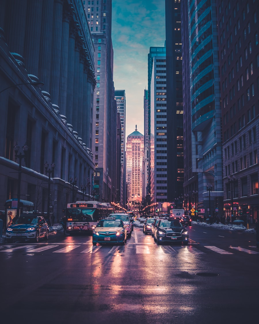
The single biggest lever is the number of stops. Three or four places in one small area will almost always feel better than eight scattered across the city. A short, dense day leaves energy in reserve and turns the walking itself into a pleasure rather than a chore. There is no prize for the longest route.
If you usually plan a full day, plan a half day and treat the rest as optional. You can always add more once you see how you feel.
Choose flatter neighborhoods
Hills and stairs usually take more effort than the same distance on the flat. The same two kilometers feel completely different on the flat than up a slope. Some cities are naturally gentle and some are not, and within most cities there are flatter pockets worth seeking out.
- Naturally flat and easy: Amsterdam, central Berlin, the Marais in Paris, and Tokyo's low-lying eastern districts. These reward a slow stroll.
- Hilly, so pick your areas: Lisbon, Rome's seven hills, San Francisco, and parts of Istanbul. Beautiful, but plan around the climbs or let a tram do them. San Francisco's cable cars have no accessible boarding, and older heritage trams may have steps, so check the operator's accessibility page first (Lisbon's Carris lists its reduced-mobility services).
Build rest into the route
Rest should be part of the plan, not a sign that something went wrong. Aim for somewhere to sit every twenty to thirty minutes: a cafe, a bench, a quiet square, a park. A proper sit-down lunch in the middle of the day works as a reset that lets the afternoon feel like a fresh start rather than a slog.
Watch the ground, not just the map
Cobblestones look charming and walk badly. Cities like Rome, Prague, and Lisbon have long stretches of them, and they are uneven, slippery when wet, and hard on the legs and on wheels. Where you can, favor paved promenades, riverside paths, and pedestrianized streets. A flat waterfront walk is often the most comfortable hour of the day.
Plan for restrooms
Public toilets are scarce in a lot of cities, and worrying about them quietly shrinks how far people are willing to roam. Treat them as planned stops: map the cafes, museums, and department stores along the route, and build the day around reliable points rather than hoping for the best.
How to shorten a route in CityWalk Plan
To be straight about it, there is no dedicated accessibility filter in the tool yet. What works well is editing. Generate a route, then trim it: delete the stops that sit furthest out, keep the three or four that cluster close together, and reorder them so the walk between each is short. Export the trimmed plan as a PDF or text copy for offline use and follow it at whatever pace suits you. The map updates as you edit, so you can see the day getting shorter and tighter as you go.
Use transit for the long gaps
There is no rule that says a walking day has to be walked end to end. A metro, tram, or short taxi across the longest connecting stretch saves your energy for the parts you actually want to be on foot for. Walk the interesting middle of a neighborhood and ride the dull edges. That one habit can make much more of a city feel reachable.
Cities that tend to be kinder on foot
If you are still choosing where to go, lean toward places that are flat, compact, well served by transit, and generous with benches. A small, level center with good trams means you can see a lot without ever walking yourself into the ground, and you can stop whenever you like knowing a ride home is close.
Make an accessibility card for each day
A list of attractions is not enough to judge whether a day will work. Write a short card with the details that affect your body or mobility aid: surface, slope, steps, seating, toilets, shade, crossing width, entrance access, and the nearest step-free transit stop. Add a phone number or official accessibility page for the one place that matters most. Conditions can change, so confirm critical access directly with the venue or transit operator before travel.
Put the hardest constraint first. A wheelchair user may care most about curb cuts and lift outages. Someone with limited stamina may care more about the distance between seats. A traveler with low vision may need predictable crossings and a companion for crowded stations. “Accessible” is not one universal state, and a route that works for one person may be exhausting or unusable for another.
Inspect the connection, not just the destination
A museum can have an excellent accessible entrance while the final block has broken pavement or a steep approach. A park can look flat on a city map while the gate you selected sits at the top of steps. Review the arrival side of every important stop. Street View, recent visitor photos, official access maps, and a direct call can answer different parts of the question; none should be treated as a permanent guarantee.
CityWalk Plan groups places and shows their order, but it does not verify curb cuts, gradients, surface quality, lift status, or accessible toilets. Its connection line is not a certified accessible route. Use it to choose a compact cluster, then validate the actual street path with current local information. If there is no reliable confirmation, keep a second arrival option and enough battery to call a taxi.
Design rest before it becomes necessary
Rest works better when it is part of the route rather than a rescue after fatigue has already arrived. Mark a dependable indoor seat around the middle of the day, plus smaller outdoor pauses between anchors. A paid café can be useful, but also look for library foyers, museum courtyards, hotel lobbies that welcome visitors, public gardens, and transit stations with seating. Check toilet access at the same time.
Think in effort blocks rather than kilometers. Thirty minutes on smooth, level pavement may be easier than ten minutes of cobbles and ramps. Heat, cold, crowds, noise, and carrying bags can reduce the day's range. Start with a conservative plan on the first day and build up distance gradually, notice the real recovery time, and adjust later days from evidence rather than ambition.
Plan a dignified exit from every cluster
Every neighborhood day should have a known way home that does not depend on finishing the walk. Save the accessible transit entrance, taxi pickup point, and hotel address offline. If a lift is essential, check its current operating status before leaving (London, for example, publishes lift and escalator closures) and identify the next usable station. Keep medication, water, a charging cable, and any mobility-aid repair essentials with you rather than in a distant locker.
Agree on the stop rule with companions in advance. The person whose access needs shape the route gets to call the break or exit without having to defend the decision. Splitting temporarily is also valid: one person can visit an extra viewpoint while another rests at a known café, then the group meets at the next anchor. A good plan preserves choice and comfort; it does not measure success by distance covered.
A practical pre-departure check
- Confirm the opening hours and accessible entrance for the main anchor.
- Check the real street connection, surface, slope, and any construction notices.
- Save two rest points, one toilet, and a weather-safe indoor option.
- Know the step-free transit or taxi exit after every major stop.
- Export the short itinerary and essential addresses, while remembering that live access information still requires a current source.
This preparation is not about removing spontaneity. It removes avoidable uncertainty so the traveler can decide in the moment whether to continue, pause, or change direction. The best accessible day is the one that remains enjoyable even when only the first two anchors happen.
Sources and checking notes
Effort of level walking versus hills and stairs: Compendium of Physical Activities, walking. Building up walking gradually: NHS, walking for health; hot-weather precautions: NHS, heatwave advice. Lift status example: TfL lift and escalator closures and TfL accessible journey planning. Tram and cable car access: SFMTA cable cars, Carris reduced mobility. Terrain: Geography of Berlin, Yamanote and Shitamachi (Wikipedia). This is general planning advice, not medical advice; check with a health professional if you are unsure what distance suits you. Stop orders are editorial guidance, not measured routes. Last checked October 8, 2026.
Frequently asked questions
Can I plan a walking route with limited mobility?
Yes. Plan fewer stops in one flat area, build in rest points, and use a tram or taxi to skip the longest stretches. With CityWalk Plan you can generate a route and then edit out the farthest stops so the day stays short and close together.
Which cities are easiest to walk?
Flat, compact cities with good transit and frequent places to sit are gentlest on foot. Amsterdam, central Berlin, and Tokyo's low-lying eastern districts are usually easier than hilly Lisbon, Rome, or San Francisco, where the climbs do the tiring.
Does CityWalk Plan have accessible routes?
There is no dedicated accessibility mode yet. What you can do is shorten any generated route: remove the far stops, keep three or four places that sit close together, and export a PDF or text copy of the trimmed plan to follow offline at your own pace.
How do I make a walking day less tiring?
Fewer stops, flatter ground, a proper sit-down break in the middle, and a transit hop across the longest gap. Hills, stairs, and uneven cobblestones usually take more effort than the same distance on smooth, level ground, so plan around the surface, not only the kilometers.